Long Endurance Inspection Drone
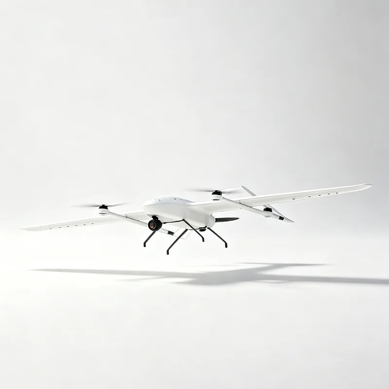
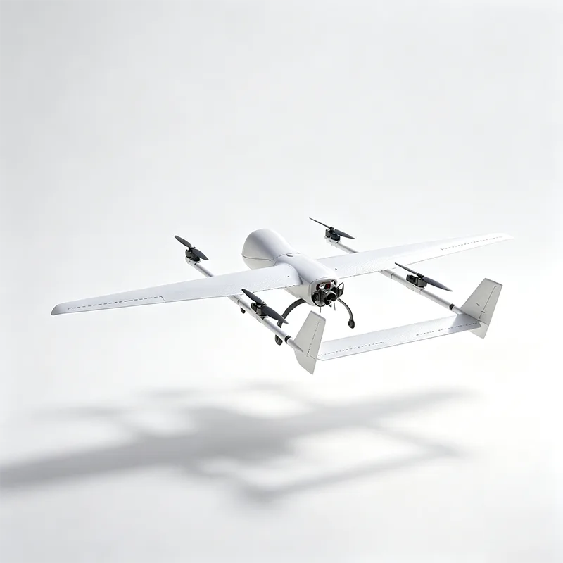
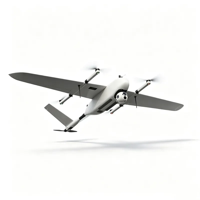
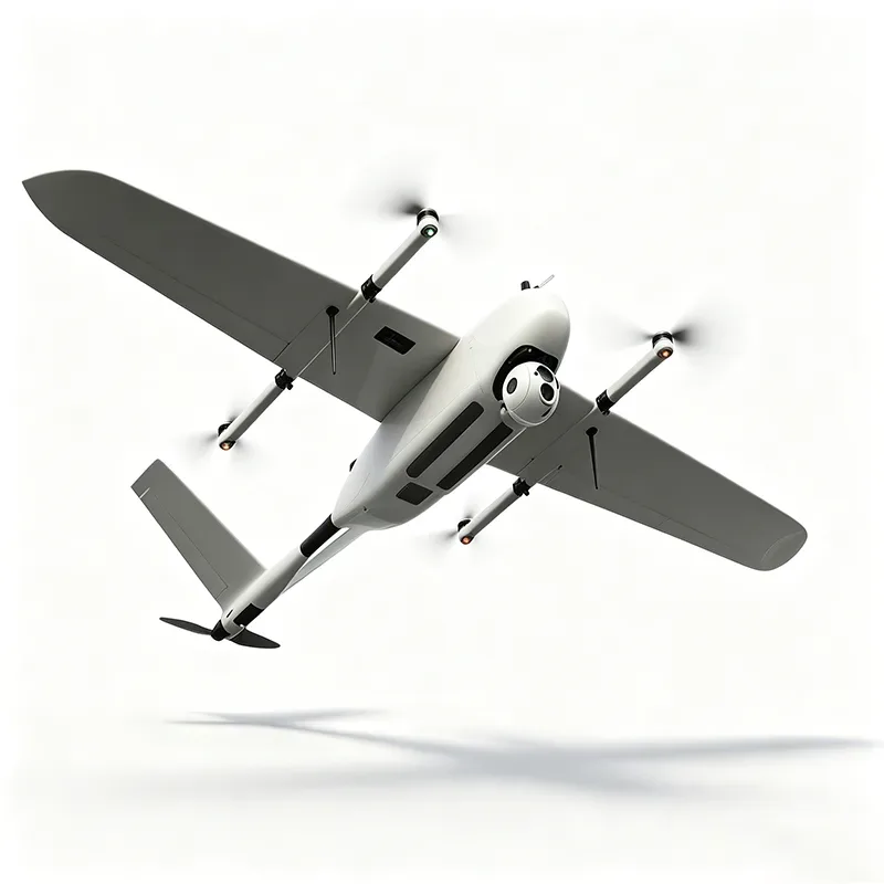
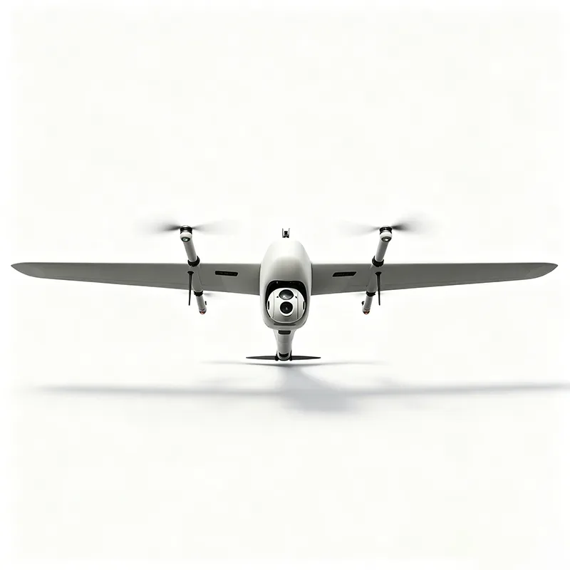
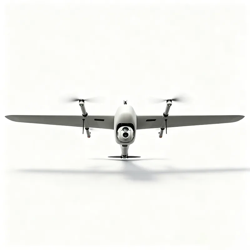
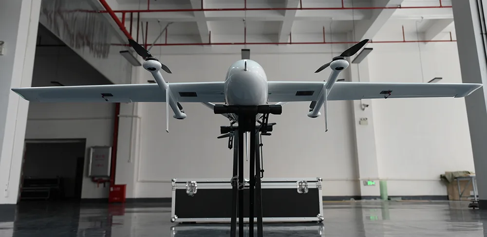
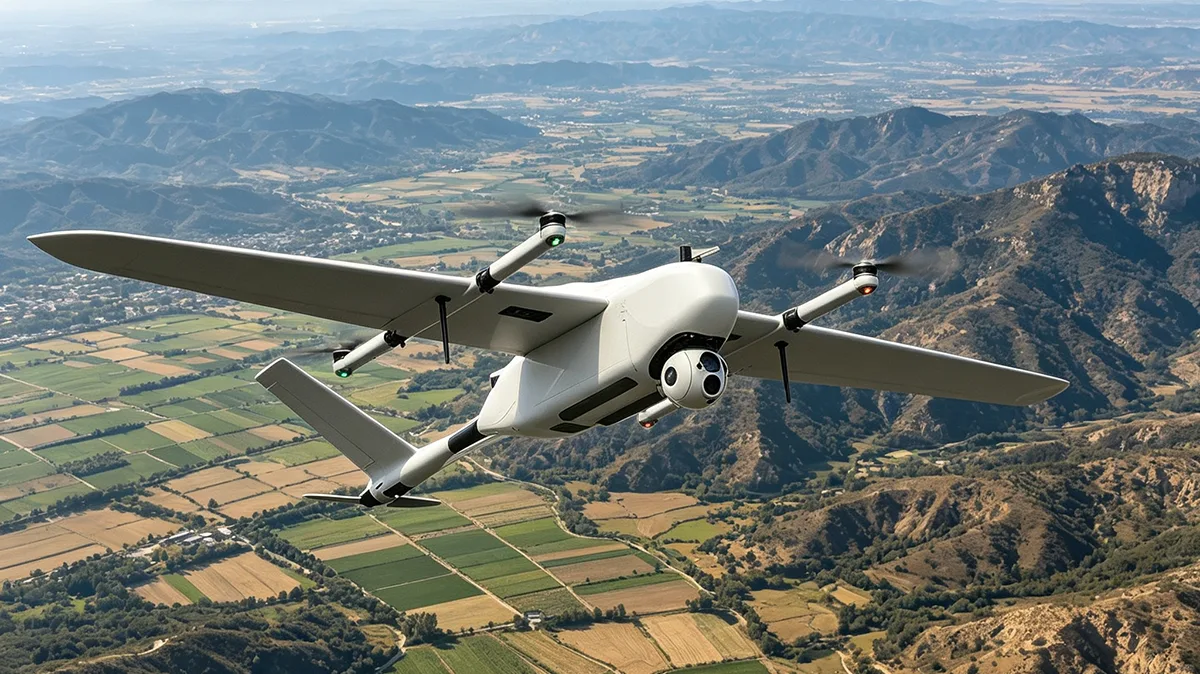
YIHANG YH-S16 Long Endurance Inspection Drone is a VTOL fixed-wing UAV designed for extended industrial inspection and aerial surveying missions. It provides up to 3.5 hours of endurance, an 80km communication radius, 1cm + 1ppm RTK horizontal accuracy, a 3.0m wingspan, 18kg maximum takeoff weight, Level 7 wind resistance and a 5500m service ceiling. The platform supports EO/IR gimbals, LiDAR, mapping cameras and selected third-party payloads, with payload integration and OEM services available from YIHANG, a China UAV manufacturer.
Model:YH-S16
Send Inquiry
Product Description
The YH-S16 Long Endurance Inspection Drone offered by YIHANG, a professional manufacturer from China, is a VTOL fixed-wing UAV platform developed for missions that require extended flight time, accurate positioning and flexible deployment. Its vertical takeoff and landing capability allows operation from suitable field locations without a conventional runway, while the fixed-wing configuration is used for efficient cruise flight. The aircraft combines long-endurance flight with RTK positioning and a modular payload interface, providing a platform for professional inspection, surveying and data-collection equipment.
Technical Specifications
|
Item |
Specification |
|
Product Name |
YH-S16 Long-Endurance Inspection Drone |
|
Length |
1.6m |
|
Wingspan |
3.0m |
|
Max Takeoff Weight |
18kg |
|
Endurance |
3.5 hours |
|
Cruising Speed |
70–115 km/h |
|
Communication Radius |
80km |
|
Wind Resistance |
Level 7 |
|
Service Ceiling |
5500m |
|
Operating Temp |
-20°C to 50°C |
|
Horizontal Accuracy |
1cm + 1ppm (RTK) |
|
Vertical Accuracy |
2cm |
|
Transport Case |
1.24 × 0.6 × 0.68m |
|
Payload Options |
EO/IR gimbal, LiDAR, mapping camera, third-party payloads |
|
Custom Service |
Payload integration, OEM branding, flight control tuning |
Payload Application
-
EO Pod
-
LiDAR
-
Mapping cameras
-
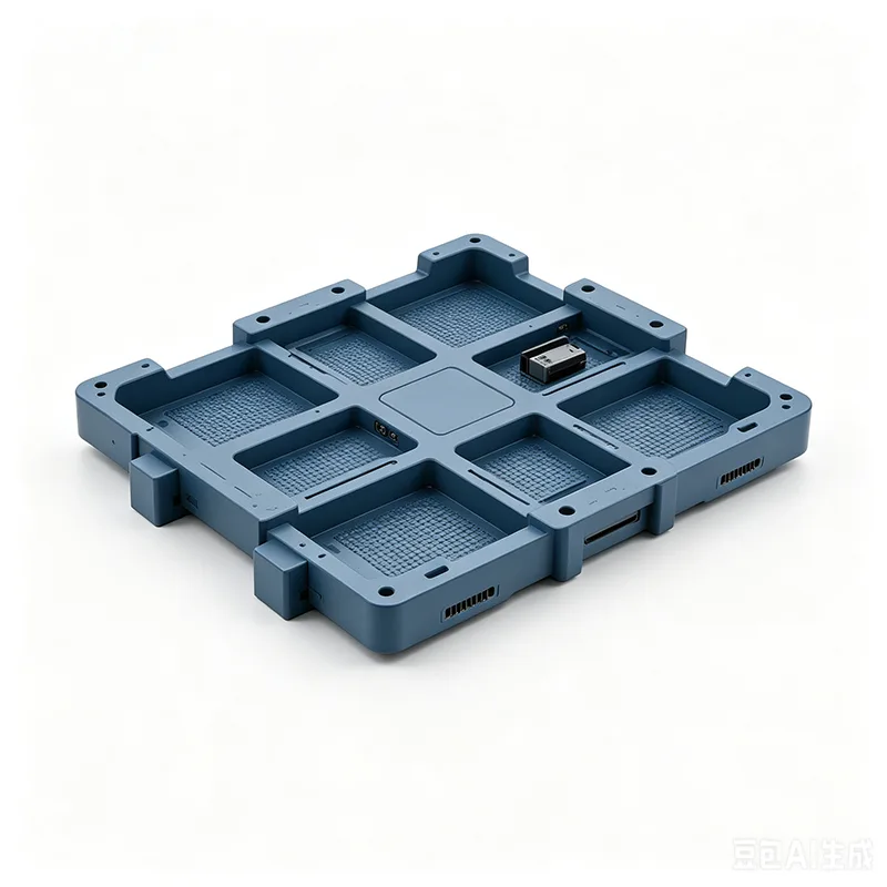
Third-part payload
Key Features
3.5-Hour Long-Endurance Flight
The YH-S16 Long Endurance Inspection Drone provides up to 3.5 hours of endurance under the stated cruise conditions. The extended flight time helps reduce the number of takeoff and landing cycles required for long inspection routes. Actual endurance depends on payload, flight speed, weather, altitude and mission configuration.
VTOL Deployment for Remote Operations
The aircraft uses vertical takeoff and landing rather than a conventional runway or fixed-wing launch system. This allows deployment from suitable roadsides, field sites, remote facilities and other locations where runway infrastructure is unavailable.
1cm + 1ppm RTK Positioning
The YH-S16 uses RTK positioning with a stated horizontal accuracy of 1cm + 1ppm and vertical accuracy of 2cm. This positioning capability supports aerial data collection where accurate aircraft location is important for surveying, mapping and asset inspection.
Modular Payload Configuration
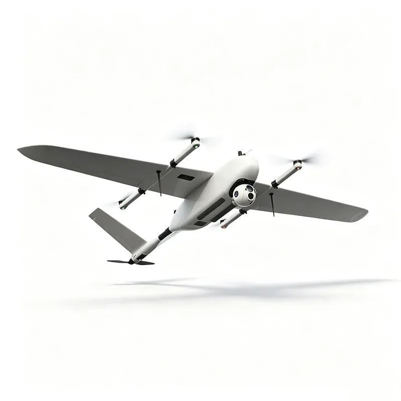
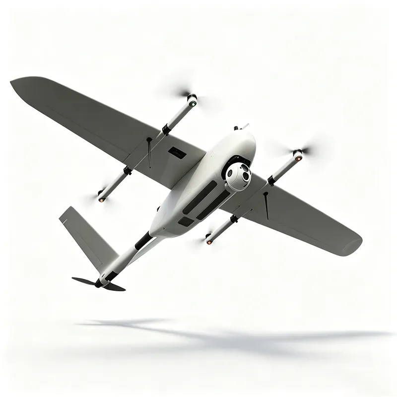
The aircraft supports different mission payloads, including EO/IR gimbals, LiDAR, mapping cameras and selected third-party payloads. This modular configuration allows the same airframe to be configured for different data-collection requirements without changing the core aircraft platform.
Inspection Payload Options
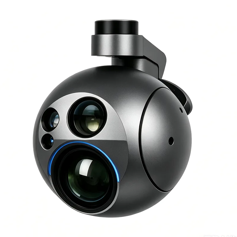
EO/IR Gimbal
An EO/IR payload can provide visible-light and thermal imaging for remote observation, asset inspection and condition assessment. The available configuration can include 30× optical zoom and thermal imaging, subject to the selected gimbal specification.
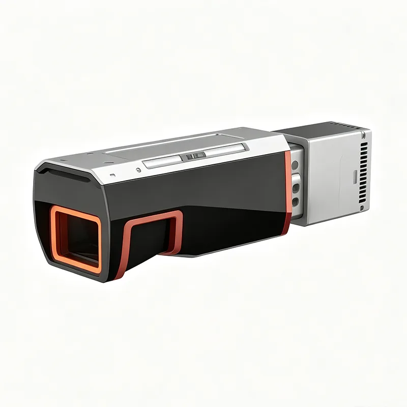
LiDAR
LiDAR payloads can be used for 3D terrain modeling, point-cloud data collection and vegetation-related surveying. Actual data quality and coverage depend on the LiDAR system, flight parameters and survey environment.
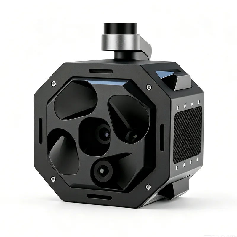
Mapping Camera
A high-resolution mapping camera can support orthophoto generation, aerial surveying, 3D reconstruction and measurement work according to the selected camera and mission settings.
Third-Party Payloads
YIHANG can evaluate selected third-party payloads according to their weight, dimensions, mounting requirements, power consumption and interface configuration.
Inspection Workflows
Power Line Inspection
The long-endurance configuration can support extended routes along transmission corridors, while compatible imaging payloads can collect visual or thermal data for asset condition assessment and vegetation monitoring.
Pipeline and Linear Infrastructure Inspection
The YH-S16 Long Endurance Inspection Drone can be configured for inspection routes covering pipelines and other extended infrastructure. Its VTOL deployment capability is useful where inspection sites are located away from conventional launch facilities.
Surveying and Mapping
RTK positioning combined with LiDAR or mapping cameras supports aerial data collection for topographic surveys, terrain modeling, orthophoto production and other mapping tasks.
Remote Area Data Collection
The combination of long endurance, VTOL deployment and modular sensors makes the platform suitable for data collection in mountainous, remote or infrastructure-limited areas, subject to mission conditions and local UAV regulations.
Smart Safety Systems
The YH-S16 incorporates several flight-control and operational safety functions for extended missions.
|
System |
Function |
|
Redundant flight controller |
Dual GNSS/IMU fusion, operates in GPS-denied environments |
|
Autonomous takeoff & landing |
Reduces pilot error, enables single-operator deployment |
|
Intelligent battery monitoring |
Real-time voltage/current alerts, auto-return on low battery |
|
Backup data link |
Maintains connection even in interference zones |
|
3D ground station |
Intuitive waypoint planning and emergency return |
Flight Control and Mission Planning
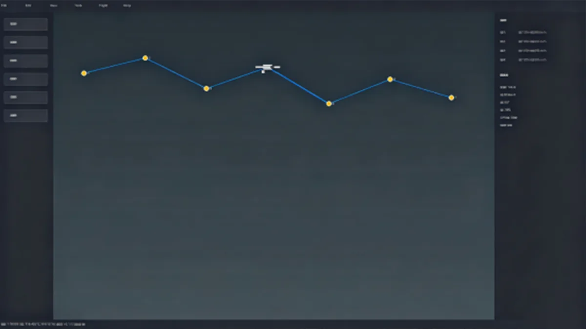
The YH-S16 supports manual flight, waypoint-based route flight and point-and-fly control. The flight-control system provides real-time telemetry feedback and can support autonomous takeoff and landing functions according to the configured system.
For planned inspection and surveying missions, waypoint routes can be prepared in advance to provide repeatable flight paths and consistent data-collection procedures.
Field Operation and Transport
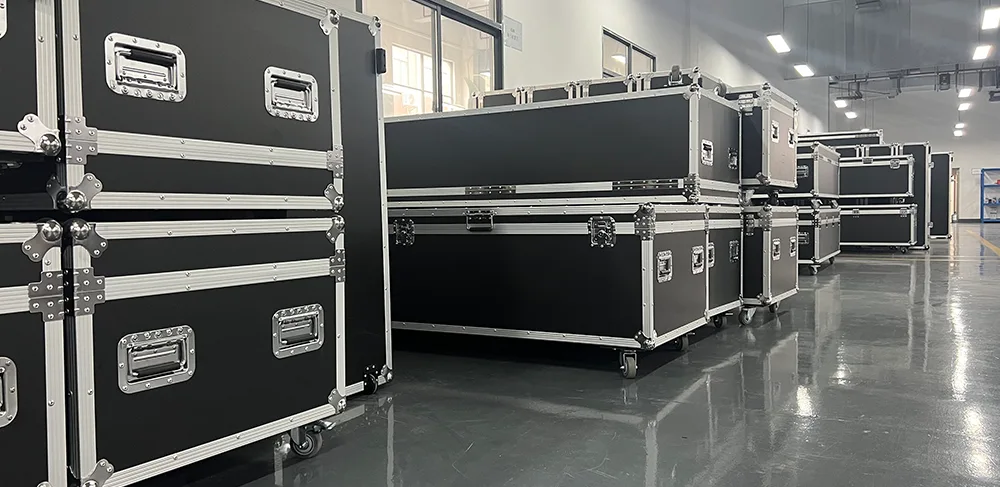
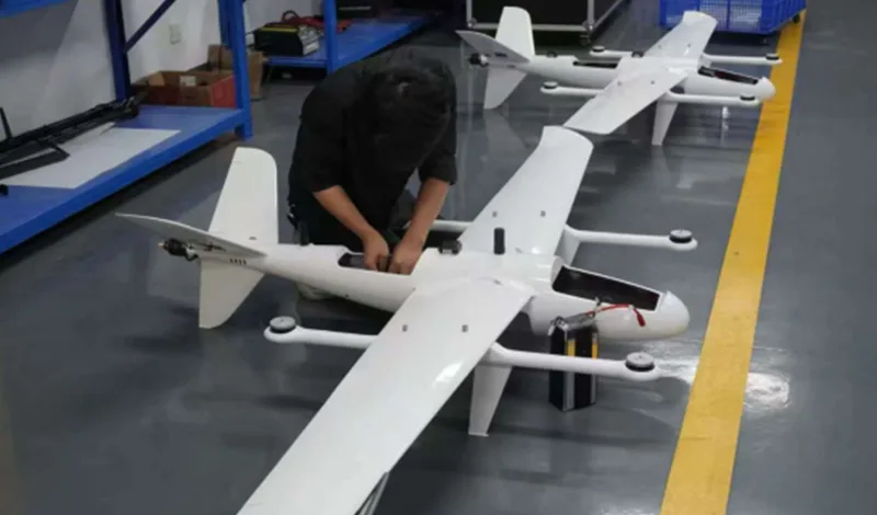
The YH-S16 Long Endurance Inspection Drone has a 3.0m wingspan and 1.6m fuselage length. A dedicated transport case measuring 1.24 × 0.60 × 0.68m is available for equipment transport and field deployment.
The aircraft is specified for operation from -20°C to 50°C, with Level 7 wind resistance and a 5500m service ceiling. Actual operating limits depend on weather, altitude, aircraft configuration, payload and mission conditions.
Payload Integration and OEM Services
YIHANG supports selected customization projects involving payload integration, sensor configuration, flight-control tuning and OEM branding.
Payload integration can be evaluated according to the selected sensor's mechanical mounting, weight, power consumption, communication interface and aircraft balance requirements. This allows the YH-S16 to be configured for different inspection, surveying and data-collection projects.
Application
FAQ
How long can the YH-S16 Long Endurance Inspection Drone fly?
The YH-S16 provides a stated endurance of up to 3.5 hours. Actual flight time varies with payload, altitude, cruising speed, weather and mission configuration.
What payloads can the YH-S16 carry?
The platform supports EO/IR gimbals, LiDAR, mapping cameras and selected third-party payloads. Payload compatibility should be evaluated according to weight, dimensions, power and interface requirements.
What is the RTK accuracy of the YH-S16?
The stated horizontal positioning accuracy is 1cm + 1ppm, with a vertical accuracy of 2cm under the specified RTK configuration and operating conditions.
What is the communication range?
The listed communication radius is up to 80km. Actual communication performance depends on terrain, interference, communication equipment and operating conditions.
Can the YH-S16 operate from locations without a runway?
Yes. The VTOL configuration allows vertical takeoff and landing from suitable operating areas without a conventional runway or fixed-wing launch system.
Can YIHANG integrate custom sensors or payloads?
Yes. YIHANG supports selected payload integration and OEM projects, including sensor integration, flight-control tuning and OEM branding. Compatibility is evaluated based on the requirements of the selected payload.
Hot Tags: Long Endurance Inspection Drone
Send Inquiry
Please Feel free to give your inquiry in the form below. We will reply you in 24 hours.