Collision-Tolerant Drone for Confined-Space Inspection
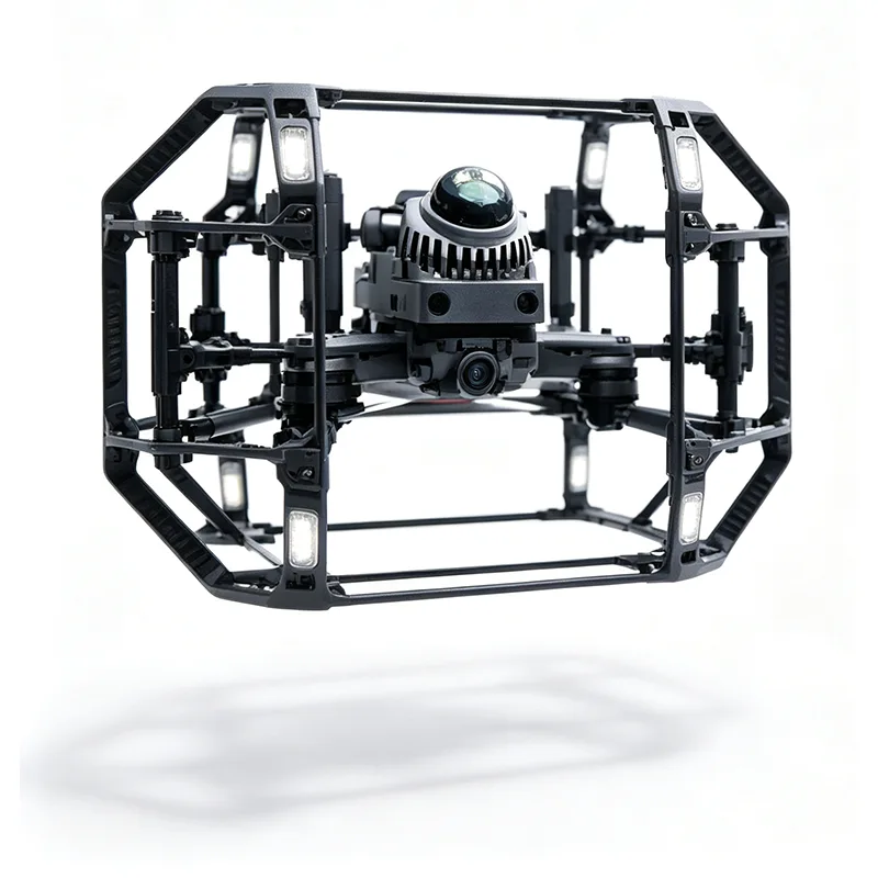
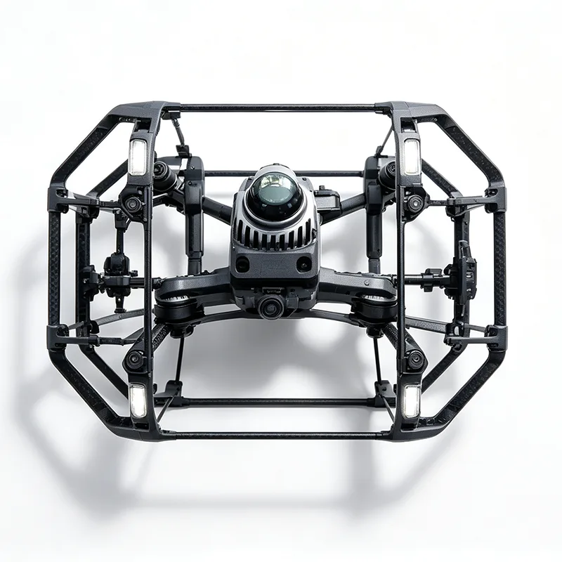
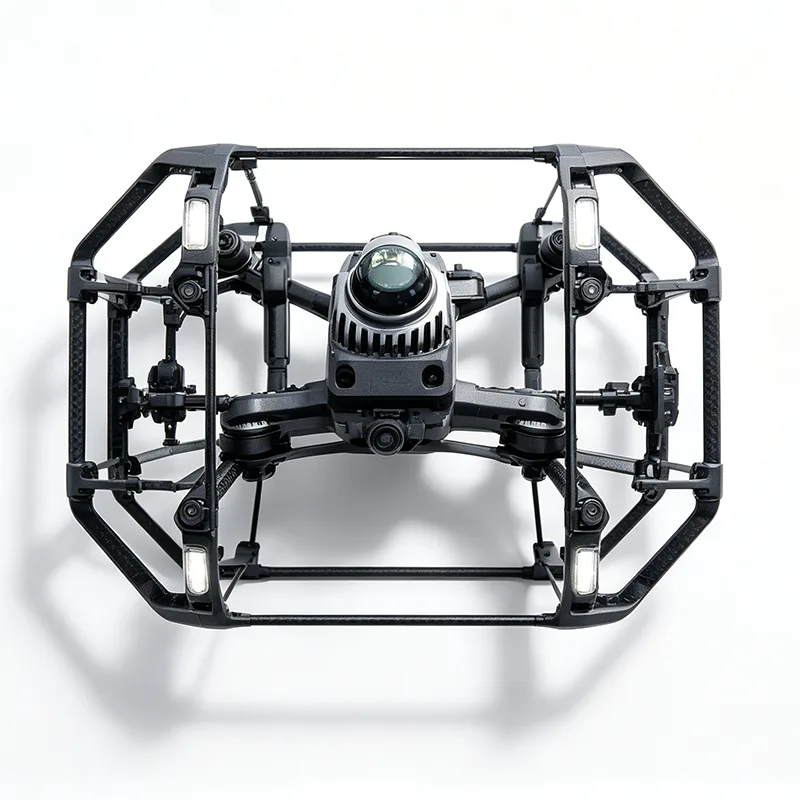
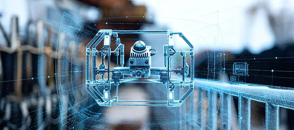
YIHANG YH-02 Collision-Tolerant Drone for Confined-Space Inspection is designed for confined-space inspection where GPS is unavailable and collision risks are high. As a China manufacturer, YIHANG integrates LiDAR, IMU and optical flow positioning with a protective carbon-fiber frame, AI-assisted obstacle avoidance and a low-frequency data link for tunnel, utility, bridge and indoor inspection applications. OEM/ODM customization and test units are available.
Model:YH-02
Send Inquiry
Product Description
Confined-space inspection places different demands on a UAV than open-area aerial surveying. Tunnels, underground utility corridors, bridge cavities and enclosed industrial spaces may have limited visibility, weak or unavailable GPS signals, narrow flight paths and obstacles close to the aircraft. YIHANG factory’s YH-02 Collision-Tolerant Drone for Confined-Space Inspection is designed around these operating conditions, combining multi-sensor positioning, LiDAR-based 3D sensing and physical collision protection in a compact industrial UAV platform.
Technical Specifications
|
Item |
Detail |
|
Product Name |
YH-02 Collision-Tolerant Drone for Confined-Space Inspection |
|
Core Applications |
Tunnel inspection, underground utility mapping, bridge cavity survey, dense forest canopy assessment, closed warehouse mapping, mine roadway scanning |
|
Airframe Material |
Lightweight carbon fiber composite |
|
Flight Endurance |
20+ minutes per battery |
|
Core Payload |
Livox MID-360 non-repetitive scanning LiDAR |
|
Positioning |
Multi-sensor fusion (IMU + optical flow + LiDAR odometry) — GPS-denied capable |
|
Obstacle Avoidance |
Physical anti-collision bumper frame + AI software avoidance |
|
Flight Control |
AI co-pilot assisted flight control |
|
Data Link |
Low-frequency wireless transmission, real-time video + point cloud streaming |
|
Intelligent Functions |
One-click RTH with auto route planning (triggered by low battery or signal loss) |
|
Operating Temp |
-20°C to 60°C |
|
Customization |
Logo marking, payload matching, OEM/ODM support |
|
Samples |
Small quantity test units available |
|
MOQ |
Negotiable |
|
Warranty |
Long-term industrial equipment warranty |
|
Payment Terms |
T/T, LC at sight |
|
Origin |
Xuzhou/Nanjing, China |
Key Features
GPS-Denied Multi-Sensor Positioning
The YH-02 Collision-Tolerant Drone for Confined-Space Inspection combines IMU, optical flow and LiDAR odometry to support real-time positioning without relying on GPS. This configuration is suitable for tunnels, underground utility corridors, bridge interiors, warehouses and other areas where satellite positioning is unavailable.
Physical Collision Protection
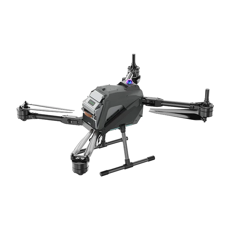
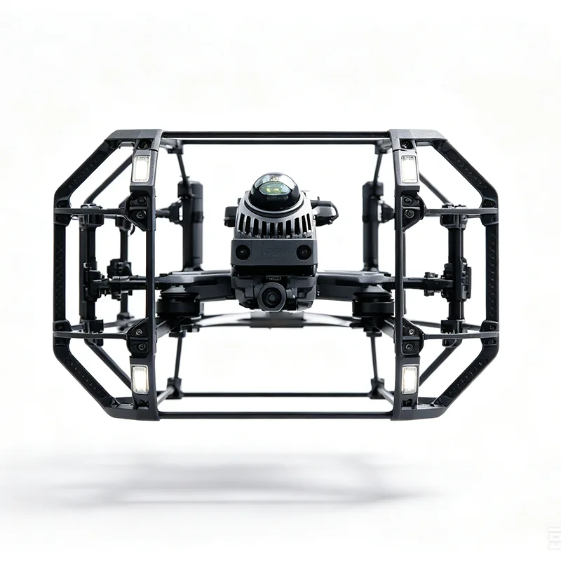
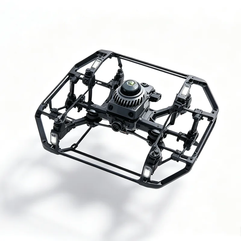
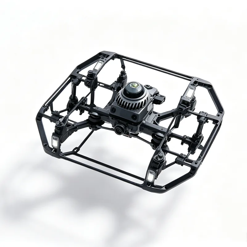
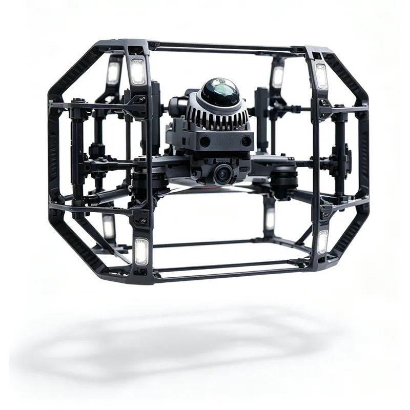
A lightweight carbon-fiber bumper frame surrounds the aircraft and helps protect key components during accidental contact. The physical protection system is designed for operations where clearance is limited and contact with surrounding structures may occur.
AI-Assisted Obstacle Avoidance
The flight-control system provides AI-assisted obstacle detection and path adjustment to help operators navigate around walls, pipes and other structures. It is intended to reduce collision risk and improve controllability during confined-space flight.
Livox MID-360 LiDAR
The YH-02 is equipped with Livox MID-360 non-repetitive scanning LiDAR for 3D spatial data acquisition. The LiDAR payload supports tunnel mapping, structural surveying, spatial measurement and point-cloud-based inspection workflows, including low-light environments where conventional cameras may provide limited visual information.
Real-Time Data Transmission
A low-frequency wireless communication system is designed for inspection work in underground and enclosed environments. It supports real-time transmission of flight and inspection data to the ground station, with practical communication range depending on environmental conditions and site configuration.
Carbon-Fiber Airframe
The carbon-fiber composite structure combines low weight with high structural rigidity and corrosion resistance. The YH-02 provides 20+ minutes of flight endurance per battery, depending on payload, battery configuration and operating conditions.
Industrial Temperature Range
The UAV is designed for operation from -20°C to 60°C, making it suitable for a range of indoor, underground and outdoor inspection environments.
Payload and OEM/ODM Customization
YIHANG provides customization for customers with application-specific inspection requirements. The YH-02 can be configured with different payloads and system functions depending on the project.
Available customization options include:
· LiDAR and camera payload matching
· Gas sensor integration
· Customized payload mounting
· Flight-function tuning
· Logo marking
· OEM/ODM development support
For new inspection projects, YIHANG can configure the UAV platform around the required payload, operating environment and data-collection workflow.
Applications
Tunnel Inspection
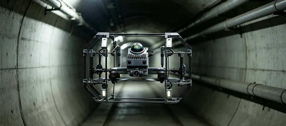
The YH-02 Collision-Tolerant Drone for Confined-Space Inspection can be used for tunnel lining surveys, 3D tunnel profiling, spatial measurement and inspection data collection. GPS-denied positioning allows operation in underground environments where satellite signals are unavailable.
Underground Utility Mapping
For pipe galleries, culverts and underground utility corridors, the UAV can collect LiDAR data while reducing the need for personnel to enter difficult-to-access areas. The resulting point-cloud data can support mapping, measurement and spatial documentation.
Bridge Cavity Survey
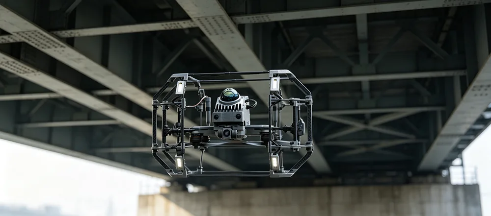
Bridge cavities and internal structural spaces may have limited lighting and restricted access. The YH-02 combines LiDAR sensing and collision protection for remote inspection of enclosed structural areas.
Mine Roadway Scanning
The UAV can support mine roadway profiling, 3D spatial mapping, volume measurement and inspection tasks. Its GPS-denied positioning capability is suited to underground areas where conventional GNSS-based drones cannot operate effectively.
Closed Warehouse Mapping
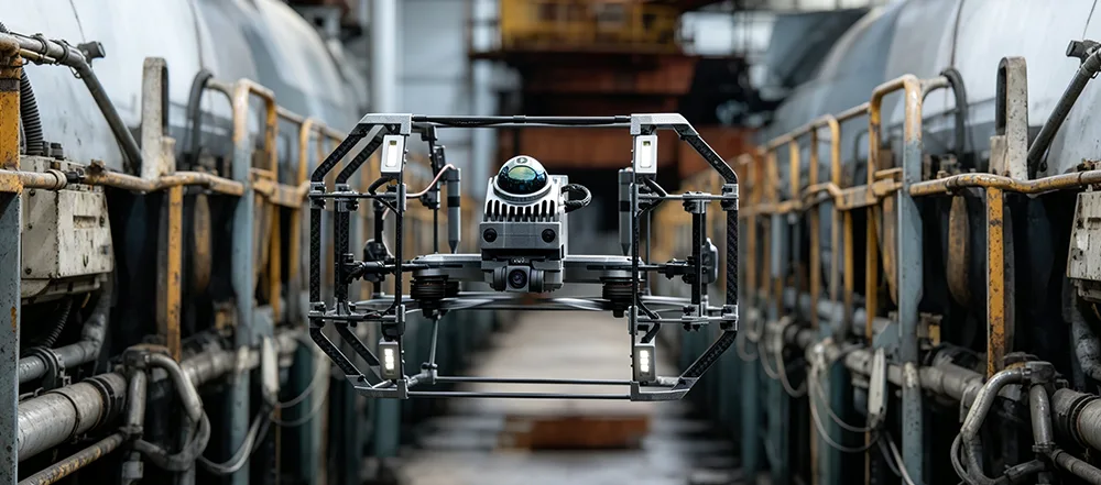
Indoor warehouses and other enclosed facilities do not provide reliable satellite positioning. The YH-02 can be used for spatial mapping, layout documentation, volumetric measurement and inspection in indoor environments.
Dense Forest Canopy Assessment
Under dense tree cover, satellite positioning and visual conditions may be affected by vegetation. The YH-02 can support LiDAR-based terrain and spatial data collection in areas where conventional aerial platforms may have limited operating conditions.
Why Choose YIHANG
In-House Product Development
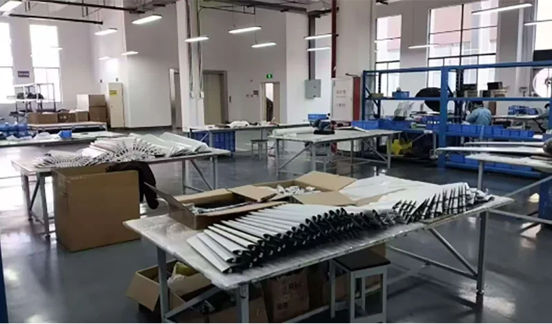
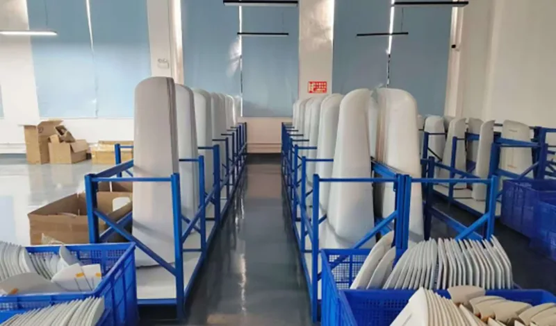
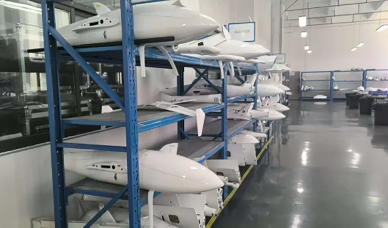
YIHANG develops the UAV platform, positioning system, communication system and payload integration in-house rather than relying entirely on an off-the-shelf drone platform. This allows the system to be adapted for specific confined-space inspection requirements.
Designed for GPS-Denied Environments
The YH-02 is developed for applications where GPS or GNSS positioning cannot be relied upon. Multi-sensor fusion using IMU, optical flow and LiDAR odometry supports flight and positioning in enclosed and underground areas.
Integrated Collision Protection
The combination of a physical carbon-fiber protective frame and AI-assisted obstacle avoidance addresses two different challenges in confined-space flight: reducing the consequences of accidental contact and assisting with obstacle avoidance during operation.
Flexible Inspection Configuration
Different projects may require different sensors or data-collection methods. YIHANG supports payload matching, system configuration and flight-function customization for industrial inspection applications.
China Manufacturing and Project Support
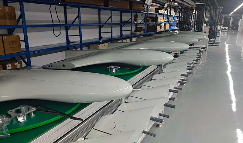
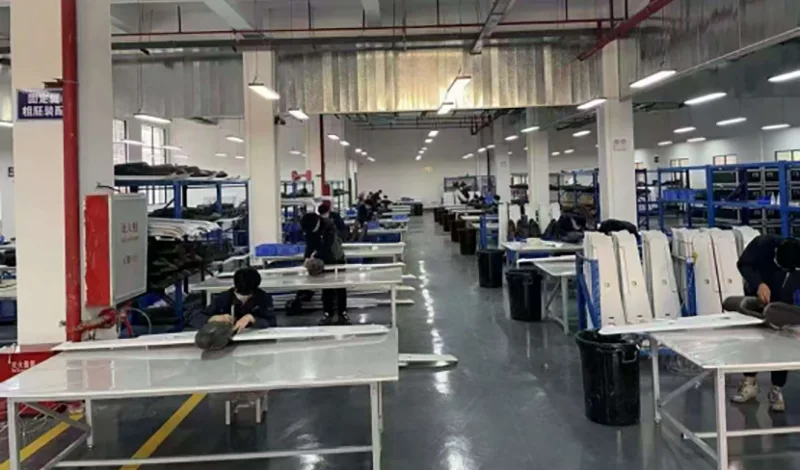
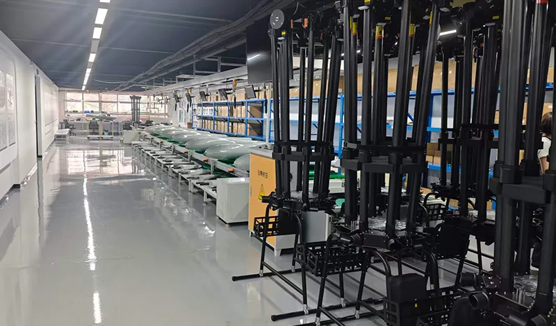
YIHANG operates as a UAV manufacturer in China, providing product development, payload integration, customization and industrial equipment support for customers requiring confined-space inspection solutions.
FAQ
Q1: How does the YH-02 Collision-Tolerant Drone for Confined-Space Inspectionoperate without GPS?
The YH-02 uses multi-sensor fusion positioning based on IMU, optical flow and LiDAR odometry. These sensors work together to support positioning and flight control in environments where GPS or GNSS signals are unavailable.
Q2: What is the main advantage of the collision-tolerant design?
The carbon-fiber bumper frame provides physical protection around the aircraft and helps reduce the risk of structural damage caused by accidental contact with walls, pipes and other obstacles. It is particularly useful where flight clearance is limited.
Q3: How long can the YH-02 fly on one battery?
The standard flight endurance is 20+ minutes per battery. Actual endurance depends on payload, battery configuration, flight conditions and operating mode.
Q4: Can the payload be customized?
Yes. YIHANG supports OEM/ODM customization and can integrate compatible LiDAR, cameras, gas sensors and other inspection payloads. Payload mounting and flight functions can also be adjusted for specific projects.
Q5: Can the YH-02 be used in tunnels and underground utility corridors?
Yes. The platform is specifically designed for GPS-denied and confined environments such as tunnels, underground utility corridors, bridge cavities and mine roadways.
Q6: What type of data can the LiDAR system collect?
The Livox MID-360 provides 3D scanning data that can be used for spatial mapping, tunnel profiling, measurement and point-cloud-based inspection workflows. The final output depends on the software and processing workflow used by the customer.
Hot Tags: Collision-Tolerant Drone for Confined-Space Inspection
Send Inquiry
Please Feel free to give your inquiry in the form below. We will reply you in 24 hours.